
Add Location from Track
PRO Free: up to 10 photos at a time.
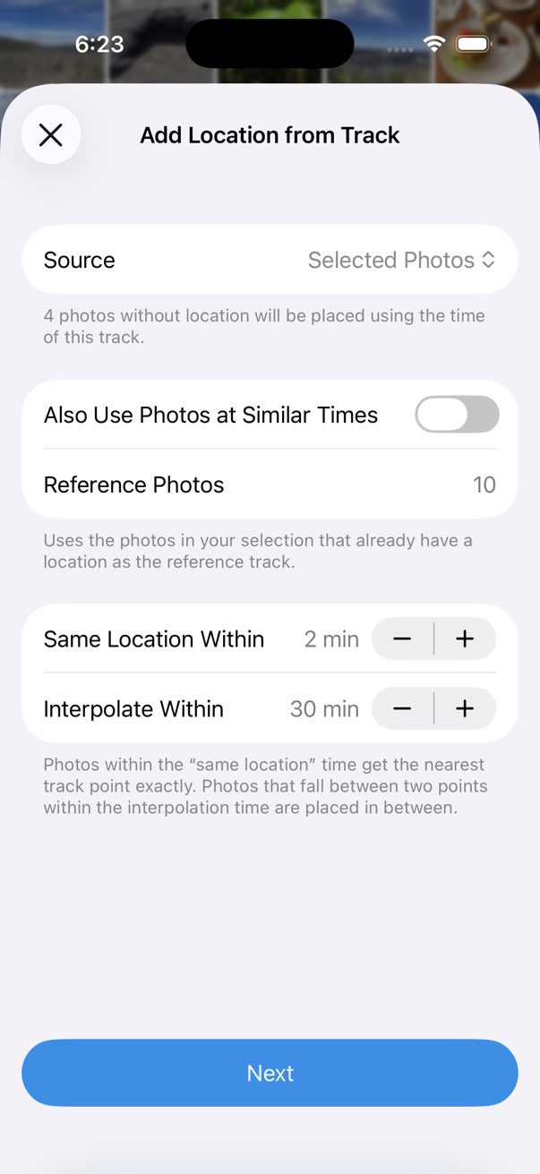
Update location for photos that are missing GPS data. HashPhotos calculates or infers locations from a GPX file, a Workout Route, or location data already present in the selected photos.
- Open a photo in the viewer, or select photos in the thumbnails screen.
- Tap the on the bottom toolbar.
- Tap Tools > Metadata > Add Location from Track.
Location Sources
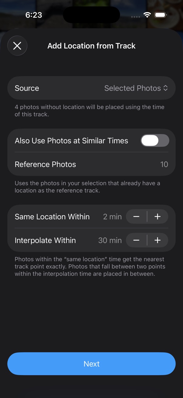
Choose a source used to calculate or infer locations for photos without location information:
- GPX File — use a GPX track file
- Workout Route — use a workout route
- Selected photos — use location data from selected photos that already have location information
Preview
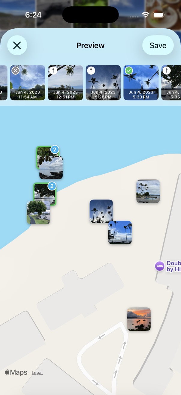
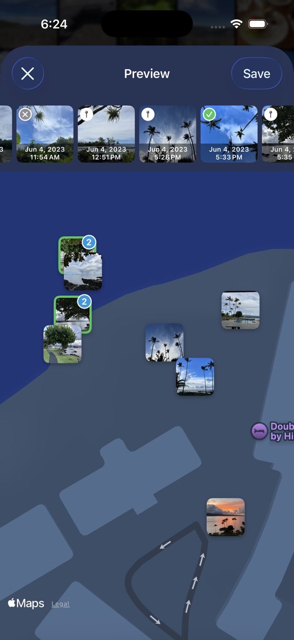
Review calculated locations on the map before saving.
- Touch and hold a thumbnail to open a menu — exclude the photo from saving location, or choose whether to save the calculated location.
- Tap a thumbnail to show only that photo on the map. Tap it again to show all photos.
Thumbnail Status Icons
Icons in the top-left of each thumbnail show the location status:
- Pin — the photo already has location information
- Green check with a solid border — location is confirmed from the provided source, or you chose to finalize it
- Green check with a dashed border — location was calculated from other location data and time
- Gray X — location could not be calculated, or you excluded the photo